By Parker McKenzie
With some topographical maps of the Dandenong Ranges and Yarra Valley using data from over 50 years ago, Yarra Ranges Council is hoping to use laser technology to map erosion and landslip throughout the region with the support of the State Government.
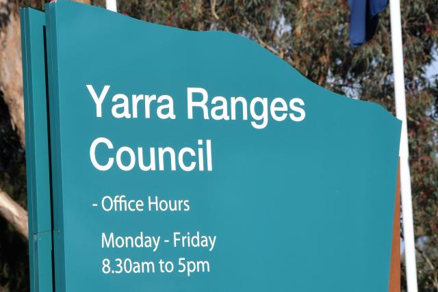
At a council meeting on Tuesday 26 April, Yarra Ranges Councillors voted to send their submission to the Department of Environment, Land, Water and Planning on their recent Landslide and Erosion in the Planning System discussion paper. The State Government is planning to update and improve natural hazard, climate change and environmental adaption, and risk mitigation strategies in Victorian planning provisions and schemes.
Councillor David Eastham said the recommendation is important and the opportunity to provide feedback to the state is appreciated.
“A few of those key points that are within the paper are separating erosion and landslide, updated mapping and accuracy and the need to do this in response to climate change and the impact it is having on our landscape,” he said.
“Landslide and erosion are important factors to get right anywhere, but they do pose a risk in our municipality and the report identifies are few of those areas, particularly in the Chandler Ward around Silvan.
“I was surprised while reading the report to learn some of the topographical mapping we are using is based on 1960s data. It’s really important we use this opportunity to get updated and improved topographic maps.”
Yarra Ranges Council said updated mapping of landslide areas would ideally utilise remote sensing technology using the pulse from a laser to collect measurements, which are used to create 3D models and maps of objects and environments. Due to cost factors involved in using LiDAR technology, the council said it would require financial assistance or support from State Government departments to complete the new mapping.
Deputy Mayor Johanna Skelton said she agreed with Mr Eastham about the importance of addressing the issues.
“In the last year with our own flood and storm events in June and also watching North Coast New South Wales and all the footage of landslip as a result of flood and oversaturation of soil, we are all in the community aware of the impact of changed weather patterns climate change is causing,” she said.
“In this particular instance it is so timely they are updating and looking into that because it is changing so fast. I’m glad we are getting on the front foot of it in our area. I hope all counsellors agree that updated mapping might hopefully help reduce the need for private geographical assessments.”
The discussion paper aims to define the difference between landslide and erosion because currently there is no distinction between the two in planning controls throughout the state. Erosion is defined as “the geological process where earthen materials are worn away and transported by natural forces such as wind or water. Erosion includes water and wind
erosion and coastal erosion,” while a landslide is “the movement of mass rock, earth, or debris down a slope.”
The motion to endorse the submission and submit it to the State Government was passed unanimously by Yarra Ranges Council.


