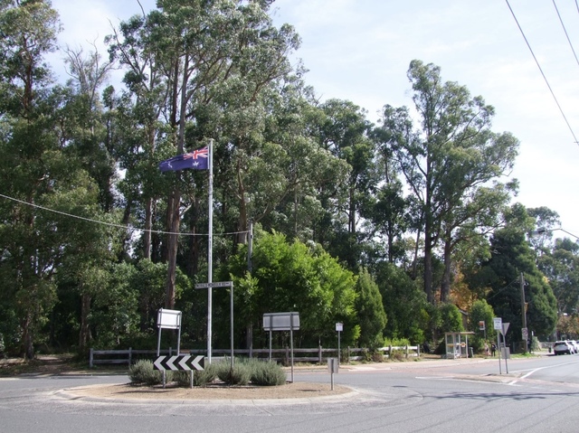
Monbulk Historical Society has answered questions that many hadn’t thought to ask about the town’s interesting roundabout and the origins of Baynes Park Road.
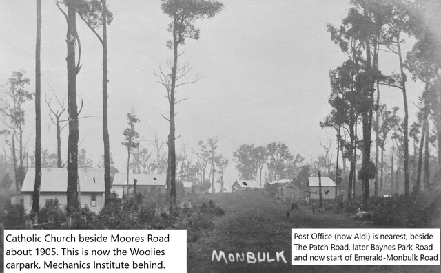
Monbulk’s roundabout, located between Woolworths and Aldi, is known for its tricky traffic flow. Drivers negotiating the junction where Main Road meets Emerald-Monbulk Road will notice Moores Road emerging just 20 metres away, alongside a Woolworths exit, creating a challenging merge for motorists.
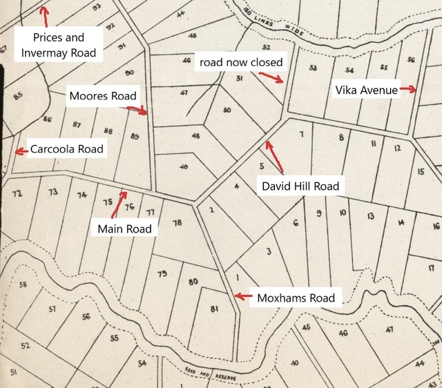
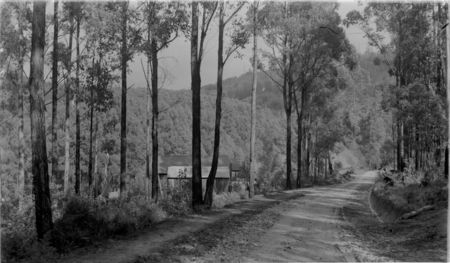
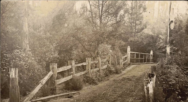
The origins of this unusual layout date back more than a century. According to the Monbulk Historical Society on Facebook, the story begins in the 1890s when the Village Settlement was established in the Dandenongs.
Surveyors divided the land into roughly 10-acre blocks, giving most plots access to creeks and surveying roads primarily along ridges for firmer ground.
However, few of these roads actually existed at the time, and planners did not account for communal areas that could develop into townships.
Where Monbulk township now stands, only two roads existed initially: Boundary Road (now part of Main Road) and Moores Road.
Other roads, including Monbulk-Silvan, McAllister, and Baynes Park Roads, were added later.
Surveyor A.E. Tobin mapped Baynes Park Road in 1895, but a slight misalignment at the top of the road – starting from Block 77C rather than directly opposite Moores Road – meant that the junction we see today is offset by about 20 metres.
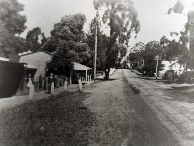
As the township grew, early settlers shaped the area further. George Leach’s abandoned block was converted into public space, eventually housing the Monbulk Football Club oval and later a school.
By the early 1900s, shops, churches, and community halls solidified the road layout, preventing any future corrections to the junction.
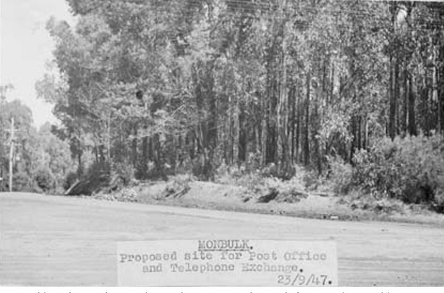
Meanwhile, what is now Baynes Park Road evolved from a series of early paths. Land donations from Herbert Masch and John Baynes in 1896–97 created a connecting route from The Patch to Monbulk.
Known first as The Patch Road, then Masches Hill Road, and Old Patch Road, it finally became Baynes Park Road in 1964.
“The roundabout and road alignment we see today are the result of over a century of planning, settlement, and development,” the Monbulk Historical Society wrote on a Facebook post.
“What may seem like a quirk of traffic engineering is really a window into Monbulk’s early history, reflecting the growth of a township from scattered farm blocks to a bustling community.”
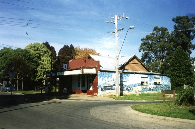
Images of the roundabout and Baynes Park Road through the years showcase this unique evolution, reminding residents and visitors alike that even small streets have stories to tell.
Story sourced from the Monbulk Historical Society Facebook page.