Community reporting on rising insurance costs and the barriers residents and businesses face to fully insure properties throughout the Yarra Valley and Dandenong Ranges has been reaffirmed by new research by the Climate Council.
According to analysis by the Climate Council, one in 25 Australian properties will be effectively uninsurable by 2030, with some suburbs in the Dandenong Ranges reaching 100 per cent risk of becoming uninsurable.
Belgrave, Sherbrooke, Sassafras and Olinda will all reach 100 per cent at risk of becoming insurable by 2030 according to the Climate Council’s climate risk map while surrounding areas face a similar risk.
Climate Council CEO Amanda McKenzie said climate change is playing out in real time and many Australians now find it impossible to insure homes and businesses.
“Over the past eight years the Federal Government has failed to meaningfully tackle climate change or prepare Australians for the worsening extreme weather events that we are now experiencing,” she said.
“The decisions of the next Federal Government will influence the future impacts of climate change for generations to come. Pollution from coal, oil and gas must begin to plummet and we must scale up our renewable power so it meets the needs of all sectors of our economy.”
In February 2022, The Star Mail reported on a community-driven survey revealing the extent of increasing insurance premiums and the ties to weather and climate events.
Two businesses in the area — one in Olinda and the other in Sassafras — saw their premiums double for 2021/22 compared to previous years.
The Climate Council’s analysis has confirmed the data provided by the preliminary results of the survey, with residents and businesses facing year-on-year increases in insurance costs potentially making coverage unobtainable.
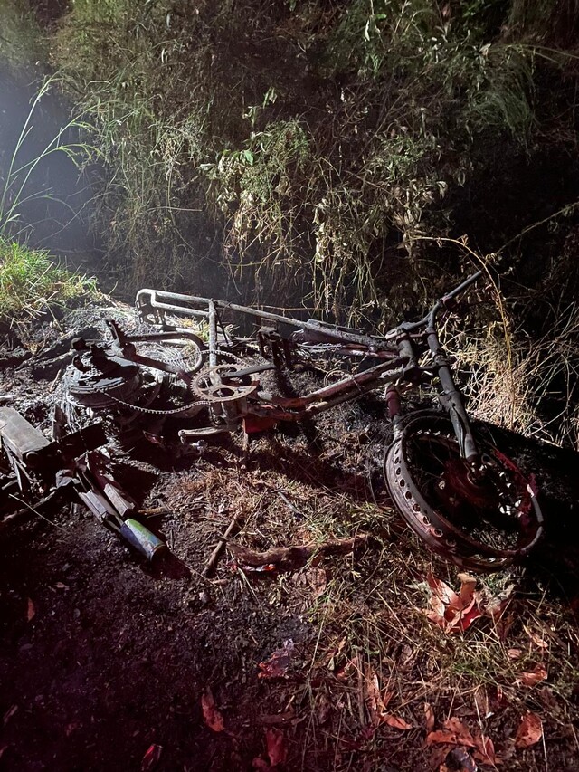
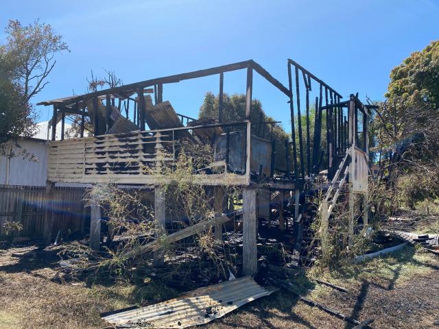
Jeremy Francis, the owner of Dandenong Ranges business Cloudehill Gardens and organiser of the survey, told the Star Mail on 22 February having an uninsured property creates further dangers for people when natural disasters occur.
“If people start finding insurance costs too much of a burden, what happens to leave early policy? It’s out the window,” Mr Francis said.
“If it means leaving the house, you’re going to lose everything that you spent your life up until then building, people are not going to leave.”
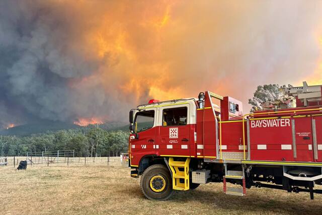
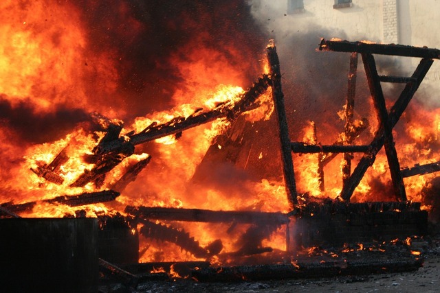
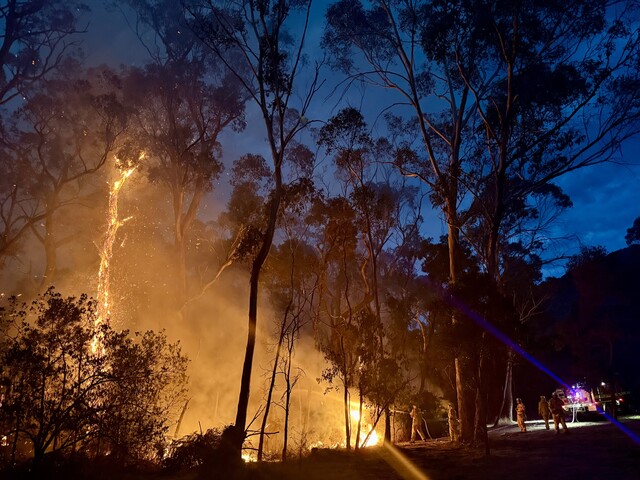
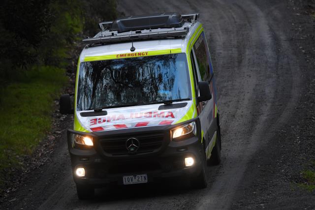
Chief Fire Officer for Forest Fire Management Victoria Chris Hardman said Victoria has seen a 40 per cent increase in very high fire danger days in the last 30 years, where bushfires are likely to cause more harm.
“When you live in an area like the Dandenongs or the Yarra Valley, which is an absolutely stunningly beautiful area that is surrounded by forest and rural land, that means in Australia we have ecology or an environment that has evolved with fire,” he said.
“Fire is a natural part of Victoria’s ecological system, so the challenge that we’re facing is many more people live in that environment than they have in the past.”
By 2050, the vast majority of houses in the Yarra Valley and Dandenong Ranges will be at risk of being uninsurable according to the Climate Council’s climate risk map.
Climate Council leading economist and Councillor Nicki Hutley said Australia is fast becoming an uninsurable nation.
“As an economist, I find these new numbers shocking and deeply concerning. I urge all Australians to use this tool to understand the risk they and their communities face as we progress through this critical make or break climate decade,” she said.
“This map makes it clear that the emissions pathway the next federal government sets us on will play a critical role in determining the insurability and future prosperity of entire communities and regions across the country.”
The Climate Council, who are a non-profit communication organisation formed to provide independent information on climate change, have recommended Australia triple its efforts to reduce emissions by 75 per cent by 2030.
The climate risk map can be viewed at www.climatecouncil.org.au/resources/climate-risk-map