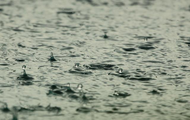
After experiencing an above-average amount of rainfall this winter, the Dandenong Ranges are set to see more rain throughout the week beginning Monday 5 September.
“Ferny Creek has had 195 millimetres which is well above average for the month,” Bureau of Meteorology meteorologist Michael Efron said.
“And of course, we’re going to get a little bit more rainfall (on Tuesday 30 August) which will count for the month,” Mr Efron said.
The average amount of rainfall Ferny Creek would usually see in August is 125 millimetres, well below the current total.
According to Mr Efron, Olinda has experienced 159 millimetres of rainfall in August, closely followed by 151 millimetres in Montrose.
“It is a little bit unusual to see so much rainfall, however if we look back to July; July was actually really dry, and June was actually really wet” Mr Efron said.
“Overall, it looks like it’s going to end up being a wetter than average winter for the Dandenongs.”
Hills residents have noticed the rainfall, with a post of clouds sneaking through towers on a mountain peak accumulating almost 150 likes.
“Great photo, the mood is well captured,” one commenter wrote.
“Then came the…rain,” another Facebook user said.
It is expected wet conditions will continue into spring, with the influence of the Indian Ocean leading to more moisture coming down across Victoria and “resulting in wetter than average conditions,” Mr Efron said.
“In terms of Ferny Creek, it’s been very wet especially the last two weeks… just looking at some of the totals, you’ve seen 130 millimeters falling in the last fortnight, so it’s really been these last two weeks where we’ve seen rainfall ramp up over the Dandenong Ranges.”
He said BOM has also received questions from concerned residents about wind conditions after the damage from the June 2021 storm event, and is working with emergency services to monitor winds closely because last year’s event was associated with southeast winds, “quite unusual” for the Dandenong Ranges.
He advises residents drive carefully through the fog and look out for warnings on BOM’s website.
“Signs are that we will face further rainfall throughout the rest of this week, not necessarily really heavy, just drizzly activity, and that’ll continue into the weekend as well.
Early next week, we’ll have a couple of dry days. And then it looks like Wednesday, Thursday next week we might get another rain bearing system crossing the state.”
You can find weather warnings and more information on the BOM website: http://www.bom.gov.au/


