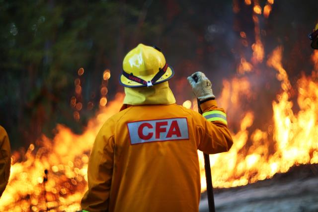
Despite cold weather forcing it to the back of our minds, it is important to be fire-ready.
Yarra Ranges Council discussed the annual Neighbourhood Safer Places report at the 13 December Council meeting, which checks all of our local emergency resorts are up to scratch.
Chandler Ward Councillor David Eastham spoke to the motion and said neighbourhood safer places and community fire refuges are extremely important for regions like ours.
“Having spent a couple of years in that neighbourhood safer place and community fire refuge portfolio, I know just how much the community value these,” he said.
“Obviously looking outside with the weather that we’ve had recently, it’s easy to think that is the last thing on our mind, but I remember hearing once that every season we don’t have a bushfire, we are probably one season closer.”
There are 18 designated Neighbourhood Safer Places within Yarra Ranges to retain the designation for the 2022/2023 fire danger period:
Belgrave Recreation Reserve (Oval), Reserve Road Belgrave
Alexanders Car Park, Terrys Avenue, Belgrave
Halley Supple Reserve (Oval), Bounded by South Gateway and North Gateway, Coldstream Dixons Creek Recreation Reserve (Oval), Melba Highway (between Pinnacle Lane and Lorimers Lane) Dixons Creek
Queens Park, Bounded by Don Road, Maroondah Highway and Badger Creek Road (entry off Don Road) Healesville
RACV Healesville Country Club Underground Car Park, Healesville-Kinglake Road (near corner Chum Creek Road) Healesville
Lilydale Recreational Reserve area, Main Street (Maroondah Highway) opposite Hutchinson Street Lilydale
Lilydale Lake Park (Between Car Park, Playground and Rotunda), Swansea Road Lilydale
Millgrove Recreation Reserve, Moore Crescent Millgrove
Monbulk Recreational Reserve (Oval), Moores Road (near McAllister Road) Monbulk
Yarra Hills Secondary School (Oval), Bounded by Old Hereford Road, Mikado Road and Burdap Drive (Reserve access Road) Mount Evelyn
Upwey Recreation Reserve (Oval), Alexander Ave (opposite Austral Ave) entry also via Chosen Ave Upwey
Dandenong Ranges Community Cultural Centre ‘Burrinja’ (Rear Car Park), Corner Glenfern Road and Matson Drive Upwey
Wandin North Reserve (Oval), Corner Clegg Road and Warburton Highway Wandin North
Warburton Recreation Reserve (Oval), 3455 Warburton Highway Warburton
Woori Yallock Recreation Reserve (Oval), Healesville-Koo Wee Rup Road opposite Nester Road Woori Yallock
Yarra Valley Racing Centre Yarra Glen (carpark area), Armstrong Grove Yarra Glen
Yarra Junction Recreation Reserve (Oval), Park Road (off Warburton Highway) Yarra Junction.
Cr Eastham said keeping up with your local safer place is extremely important.
“These places really are, as they say, the last resort. As the CFA, Victoria Police and any other emergency services will say, if you do end up at a neighbourhood safer place in a bushfire it is most likely going to be extremely uncomfortable for you. But they have met certain criteria, whether it be the distance to vegetation, or taking into consideration the slope and gradient of the landscape around them as well,” he said.
“Each year these assessments are carried out and I want to thank Victoria Police, CFA and other stakeholder groups that come together and help us with these assessments. There are a number of safer places that won’t be in place this year, due to the projects going on there.”
In addition, there are three Community Fire Refuge (CFR) locations within Yarra Ranges municipality which will remain designated during the fire danger period:
Millwarra Primary School East Warburton Campus, Woods Point Road East Warburton
Ferny Creek Primary School, School Road Ferny Creek
Wesburn/Millgrove CFA Fire Station, Warburton Highway Millgrove.
Yarra Ranges Council has no designation responsibility for CFRs.
All councillors voted in favour of the motion and it was passed unanimously.

