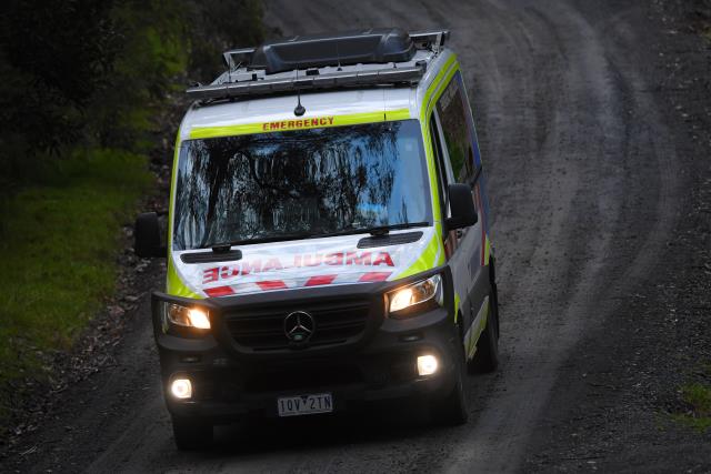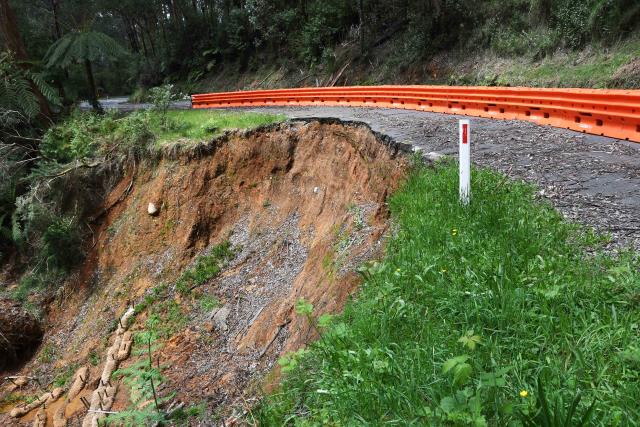
New mapping has revealed the risk for landslides in the Yarra Ranges is much higher than previously thought and has prompted the council to rush to adopt new erosion management overlays (EMO).
Commissioned by the Yarra Ranges Council after the June 2021 storms, the “concerning” report was delivered in late April 2025 and identified a whopping 13,400 landslide-prone properties.
It’s an increase of 2000 at risk properties from the old, hand-drawn maps which were commissioned in the 1990s.
“There are no certainties about when the next significant rainfall event or landslide could occur. However, given recent weather patterns and high instance of emergencies in Yarra Ranges it is reasonable to consider this likely and imminent,” the report warned..
Yarra Ranges Council mayor Jim Child addressed the council meeting with grave concern in his voice.
“Councillors, this is a big one. This is something that’s happening that we need to really pay some serious attention to,” Cr Child said.
The council voted to pass emergency EMOs while the current planning scheme amendment is exhibited to avoid liability in the event a landslide occurred before the new overlays were implemented.
The emergency EMOs now require the approval of state Planning Minister Sonya Kilkenny, but, at the time of publication the council is yet to formally submit a planning scheme amendment request.
State Member for Monbulk Daniela De Martino said as climate change continues to threaten the Yarra Ranges, we continually have to improve how we plan for and adapt to these events.
”I encourage Yarra Ranges Council to progress their planning scheme amendment, to provide certainty to our community on where it is appropriate to build more homes,” Ms De Martino said.
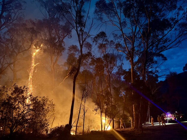
The Yarra Ranges has a history of landslides and the towns with the highest landslide threat are Warburton, Monbulk, Mount Dandenong, Montrose and Belgrave.
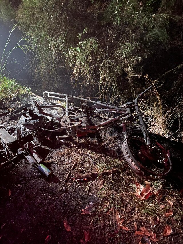
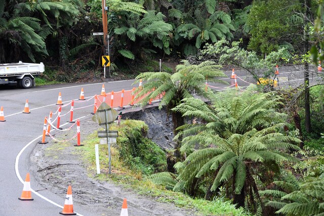
The July 2024 landslide on Mount Dandenong Tourist Road in Ferny Creek, which was approximately 40 metres wide and 70 metres long, saw the road closed to a single lane and repairs are expected to finish in July.
Other significant landslides on Monbulk-Seville Road in 2023 and Acheron Way in Warburton East have seen major delays and months of repair works.
Councillors warned if no action was taken there’d be a repeat of the McCrae landslide in Mornington Peninsula, in which a house was destroyed and a man injured in an area with no erosion management overlay.
Cr Mitch Mazzarella said the interim EMOs were not a “knee-jerk reaction” to the McCrae landslide and rather were informed by the new mapping and a long history of severe weather events in the Yarra Ranges.
The new report also stated as climate change impacts the country, severe weather events will become more common and intense.
“Climate change forecasts suggest that whilst rainfall totals in Victoria might reduce … the magnitude and frequency of extreme weather and climate events is expected to increase. Accordingly, landslide frequency is expected to increase in response to the predicted climate trends,” the report said.
Climate Council’s Too Close to Home report stated Yarra Ranges was the second most impacted local government area by natural disasters in the country.
Cr Tim Heenan recalled the June 2021 storms and cautioned the likelihood of such an event to occur again as climate change dials up severe weather event risk.
“We were in lockdown. The storms were so bad. It was freezing cold. Many people lost their homes or they had significant damage done on their homes. And I presume with climate change, we’re going to see a lot more of this in the future,” Cr Heenan said.