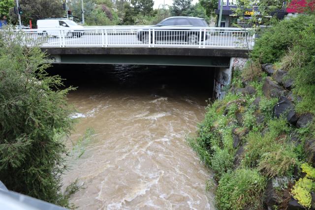
Melbourne Water are calling on Yarra Ranges residents to help guide the updating of flood maps in the region.
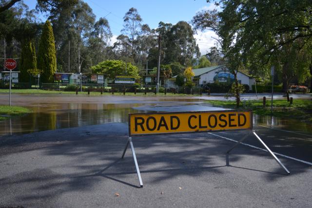
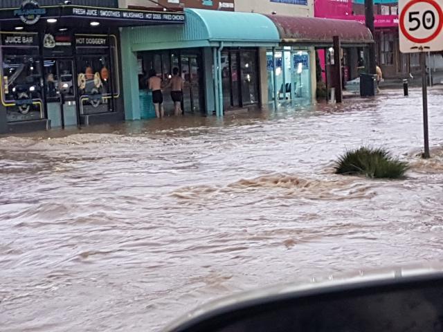
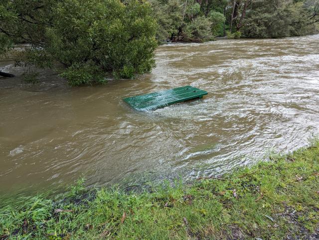
Community engagement is open until 24 August and with the rise of floodings events in the region in recent years, will be important for management and preparation for future flooding events.
Melbourne Water’s general manager of service strategy Anna Lucas said once finalised, these updated maps will underpin Municipal Emergency Management Plans, land-use controls and investments in climate-ready infrastructure.
“We’re calling on Yarra Ranges residents to share their observations where floodwaters reached their street or home, what caused the flooding and when it happened. We are also looking for any photos of historical flooding in Yarra Ranges,” she said.
“Your insights will help validate our risk projections for new maps, uncover new hotspots and inform emergency planning. It’s your local knowledge that brings the real picture to life.”
The following flood maps are being updated, and Melbourne Water are seeking feedback for:
Cardinia, Toomuc, Deep and Ararat creeks.
Corhanwarrabul Creek.
Dandenong Creek and tributaries (Mordialloc, Eumemmerring, Monbulk & Ferny creeks).
Stringybark and Woori Yallock creeks.
Brushy Creek.
Little Yarra River.
Hoddles Creek.
Olinda Creek.
Steels and Pauls creeks.
Watts River.
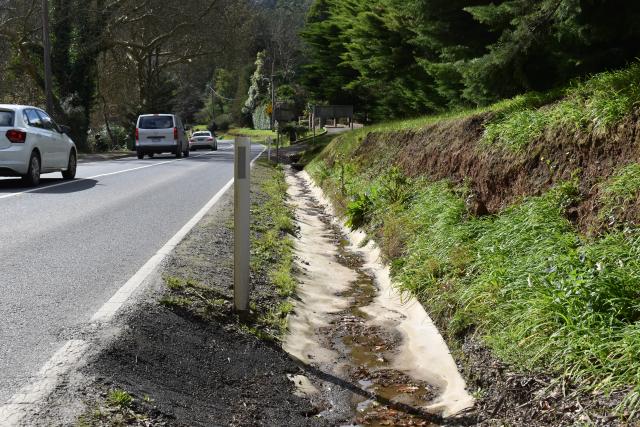
Stormwater drains.
Yarra River.
Residents who have recently submitted information and/or photos as part of the Yarra Ranges Shire Council stormwater engagement have already had their feedback passed on to Melbourne Water and do not need to submit it again.
A summary of the information that was passed on by Yarra Ranges Shire Council can be found here: hdp-au-prod-app-mw-yoursay-files.s3.ap-southeast-2.amazonaws.com/4117/5428/1633/Yarra_Ranges_residents_stories_about_flooding_.pdf
On the engagement website, Melbourne Water are asking residents to describe their past experiences with flooding, including the location, the depth of the water, what they think caused the flooding, the date of the flooding (exact or approximate) and to supply any photos or videos they may have.
The engagement is part of Melbourne Water’s efforts to update flood information across the entire Port Phillip and Westernport region, partnering with local councils to better understand current and future flood risks.
To update flood information, Melbourne Water uses flood models to help them understand where the flooding might occur, with over 1000 flood models to be replaced with 250 new, more accurate models.
Yarra Ranges residents can provide their feedback by visiting: letstalk.melbournewater.com.au/flood-information/yarra-ranges